The Woodland
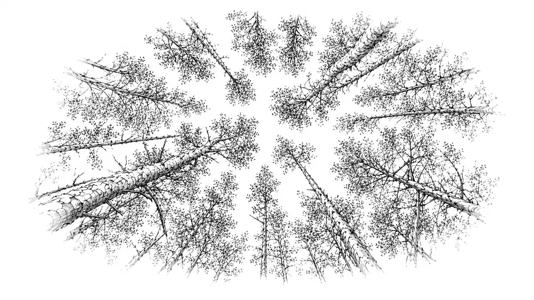
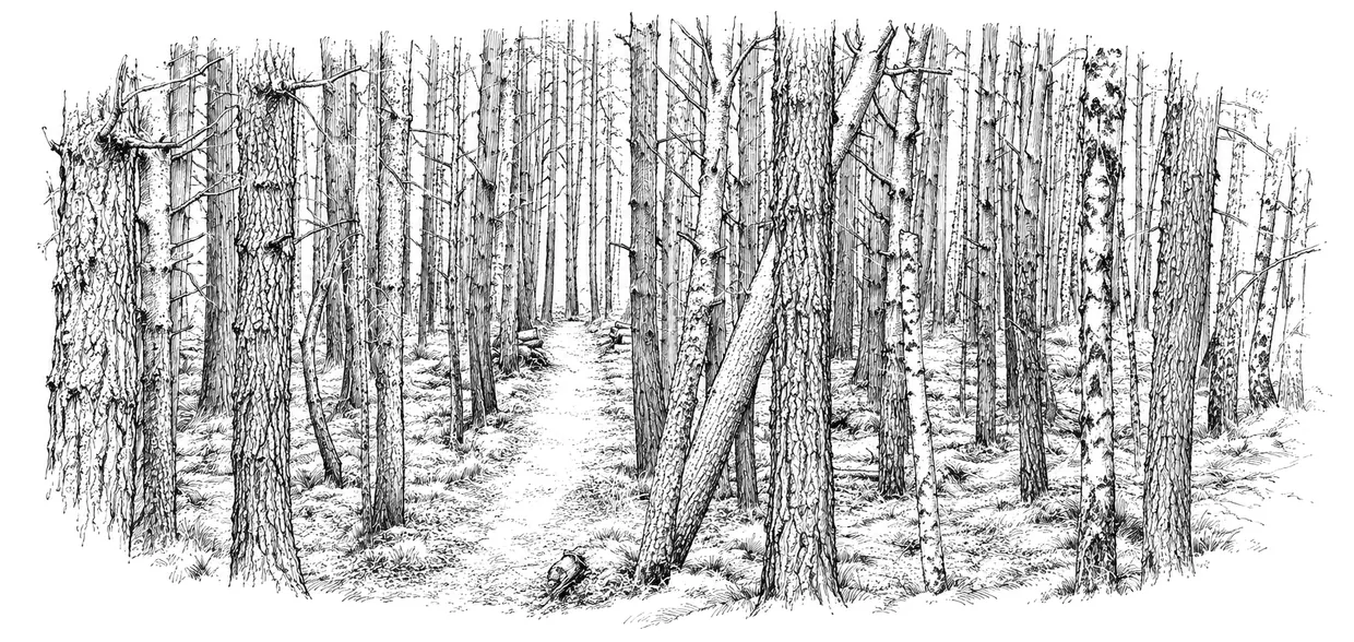
Beside the village lie some 6.3 hectares of community woodland and grazings: pine and birch, open grazing ground, a pond, and the path that links Insh to the Badenoch Way. It is a working place as much as a wild one: grazed, coppiced, planted and repaired by the people who live around it.
From lease to ownership
The community has managed this ground since 1999, when it took on a lease from Forestry and Land Scotland. In 2020 the Scottish Land Fund awarded Insh Community Holdings a grant of £23,500 towards buying the land, and in 2022 the purchase was completed. What had been borrowed for twenty years is now held by the community, for good.
How the land is cared for
The woodland and grazings are managed under a management plan, which guides the work parties through the year: clearing storm-blown timber, planting and laying hedges, tending the pond, and pulling Sitka seedlings before they take hold. Windfallen and thinned wood feeds the firewood scheme, which delivers split logs to households in the village for a small donation.
A copy of the management plan is available from the trustees: ask through our contact page.
The maps
Two maps belong with this page. The house-names map is now on the site: a record of the houses of Insh and the names they carry, since the village is addressed by house name rather than by number. You can see the map of Insh and search the names.
A map of the land itself; the woodland and grazings, and their boundaries is still being prepared and will appear here. Until then, the trustees will happily share it: get in touch.